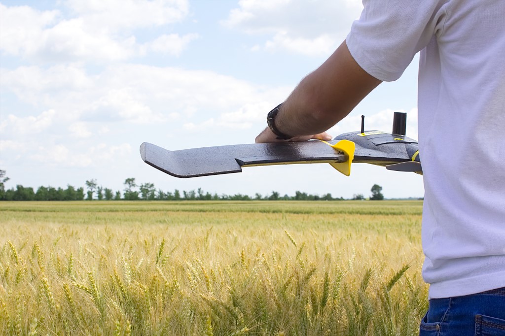
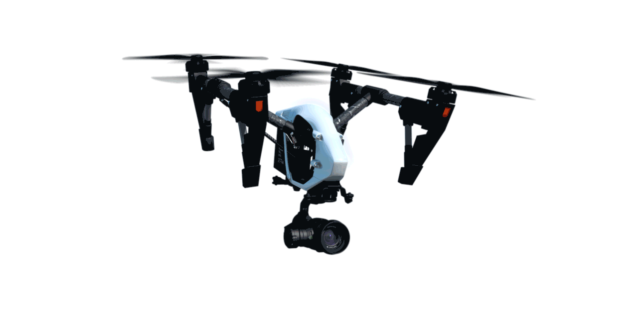
The field of mapping and surveying has undergone a revolution in the last decade with the advent of unmanned aerial vehicles. Newer and more accurate aircraft, time spent in the air and advanced imaging systems make the UAV a perfect platform for performing a variety of mapping and measurement tasks.
Area mapping is necessary before and during any infrastructure project. In the traditional method, surveyors spend a long time in the field, and are required to work hard.
Using UAV mapping, it is now possible to build elevation lines and topographic sections for design, calculate quantities and volumes in a construction project or draw a structure with a high level of accuracy and a resolution of a few centimeters for the installation of solar panels. In the smallest details on the ground and the possibility of monitoring changes that take place in the field over time.
Michnaf offers a variety of aerial and ground measurement services as well as quality mapping products for a variety of uses and projects, signed by a certified surveyor.