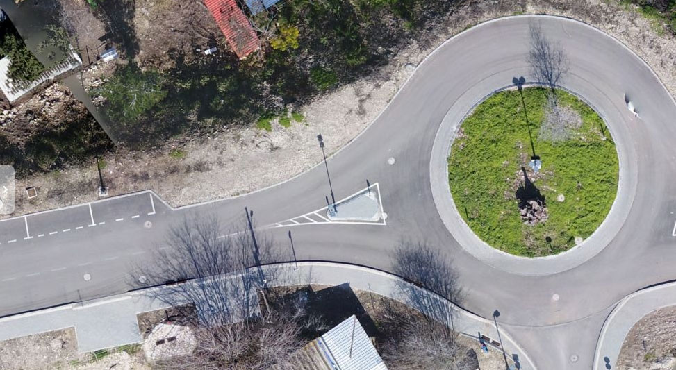
Vertical aerial photographs (orthophotos) using UAVs provide accurate information about the desired area and make it possible to analyze changes over time.
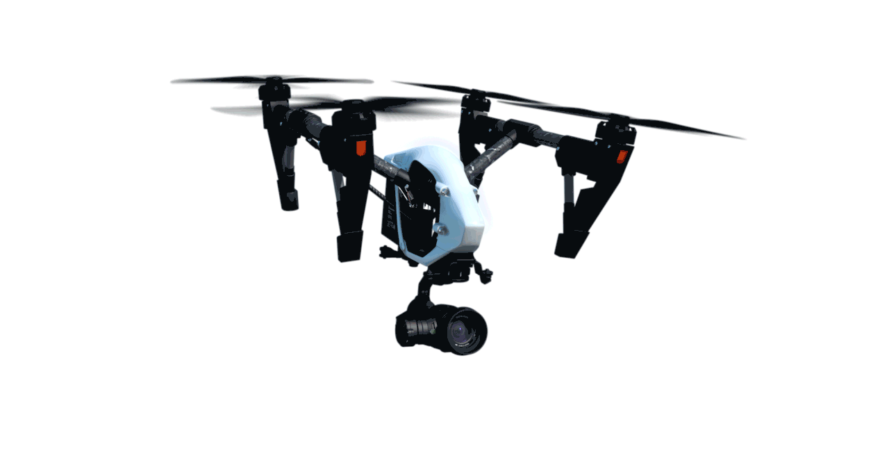
By using drones and GIS tools, we create mapping and orthophoto products of higher quality, accuracy and availability than ever.
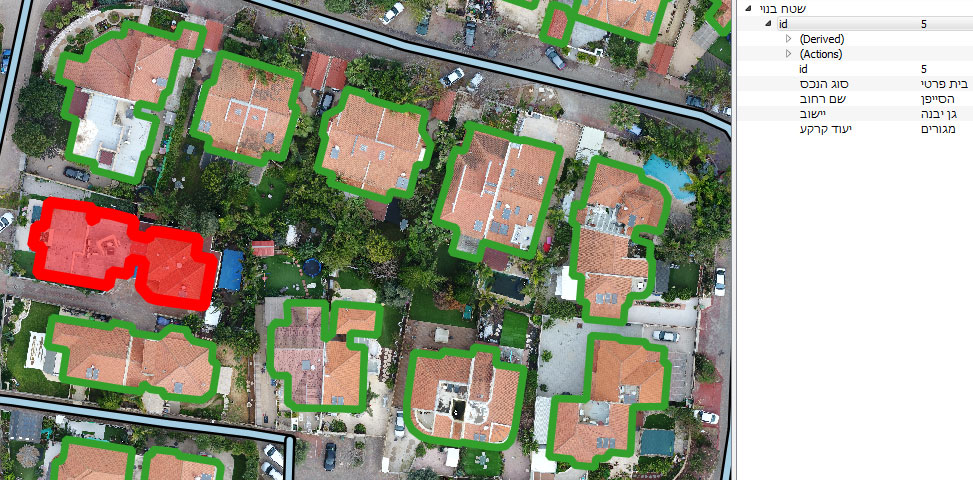
Extremely High quality photography allows you to identify and map any object in the terrain with maximum accuracy.
High resolution of 1 centimeter per pixel
High delivery availability
Ability to perform RTK anchored orthophoto – high precision and without distortions
Excellent aerial photography for a variety of fields:
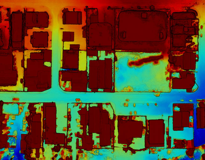
Michnaf performs mapping and analysis of open and built terrains, and sets up layers of GIS information for spatial management in computerized systems. Our geographic mapping and survey products are precisely tailored to the needs of the project and the customer. After thorough characterization, we collect the necessary information from the terrain and set up digital databases and GIS layers ready to be integrated into any existing geo-organizational information system or a new Michnaf system.
Our company offers mapping surveys for companies, organizations and authorities in a variety of fields: