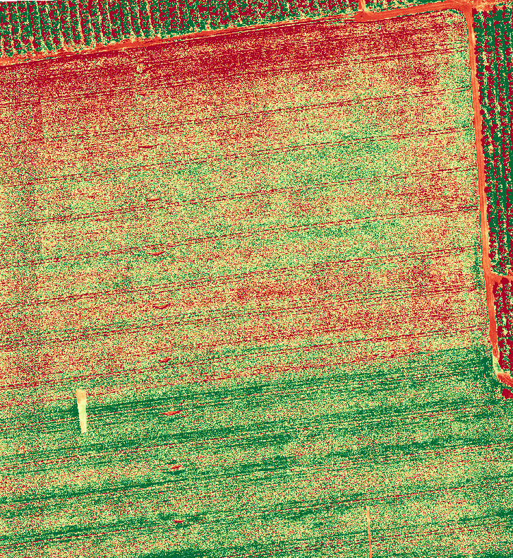
Through thermal imaging and using various types of sensors it is possible to see what the human eye cannot see.
Our company provides agricultural information from drones in order to help the growers get a look from above on the growing areas in the agricultural sector. By scanning the area with multi-spectral sensors and using computerized image processing, we provide our clients with tools and insights for monitoring the state of crops and making decisions on spraying, irrigation and fertilization.
GIS systems and applications for collecting information from the field, enable growers to document and analyze agricultural and agronomic information such as pest distribution, fertilization and spraying management, as well as GPS guided driving and precise work.
Michnaf offers technologies and software tools for smart management of agricultural farms and the execution of precise agriculture in practice. With our technology, you can keep track of the state of the crops throughout the year, compare data to previous years and learn about trends and phenomena in different areas of the plot.
")